Popular Baseball & Trucker Hats
155,108 results


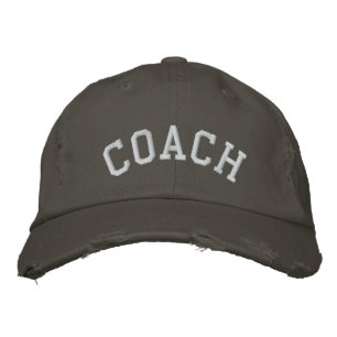
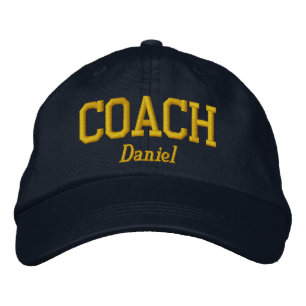
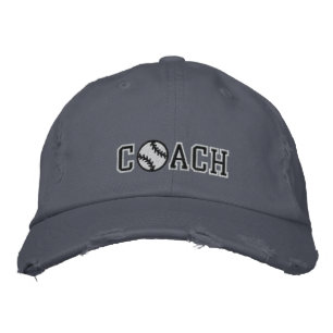
COACH Embroidered Baseball Cap
Price£33.55
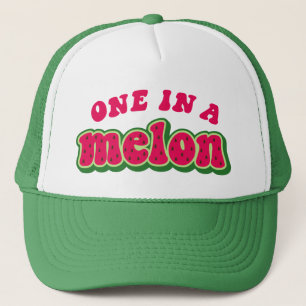
One in a Melon Baseball Hat Cap
Price£17.70
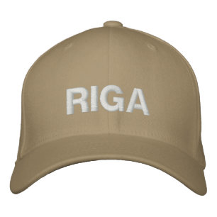
Riga Baseball Cap
Price£27.70
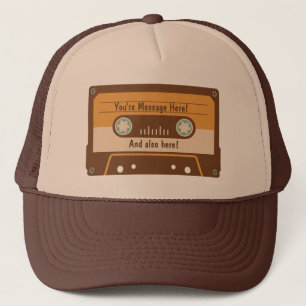
Custom Message Cassette Tape Baseball Cap
Price£18.75
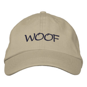
WOOF Dog Lover's Embroidered Baseball Cap
Price£28.65
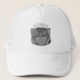
Personalised Tibetan Pallas Cat Baseball Cap
Price£18.75
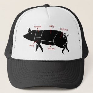
Funny Pig Butcher Chart Diagram Trucker Hat
Price£17.70

Hashtag Selfie Embroidered Hat
Price£25.85
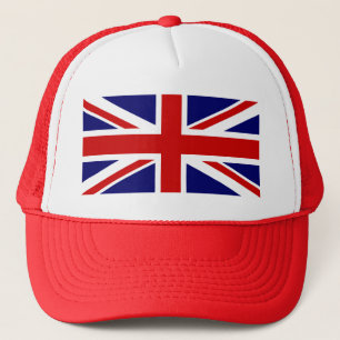
Union Jack Trucker Hat
Price£18.75

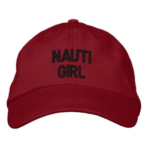
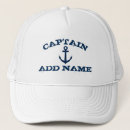
Nautical Nauti Girl Red Hat
Price£23.50
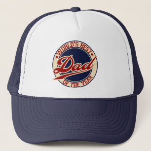
World's Best Dad Trucker Hat
Price£16.80
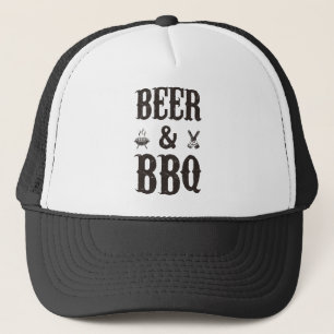
Beer and BBQ Trucker Hat
Price£16.80
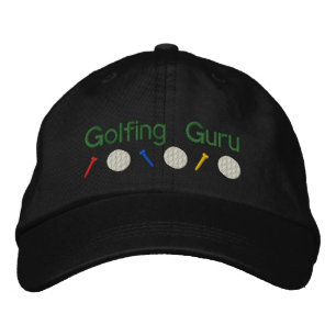
Golfing Guru Embroidered Hat
Price£24.80
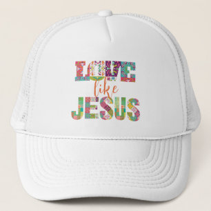
Love Like Jesus, Jesus Loves You Trucker Hat
Price£18.30
Simple Logo With Text Business Trucker Hat
Price£17.70
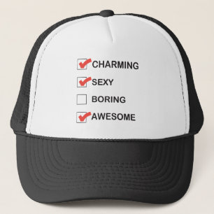
Charming Trucker Hat
Price£18.75
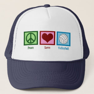
Peace Love Volleyball Trucker Hat
Price£16.80
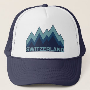
SWITZERLAND hats
Price£17.70
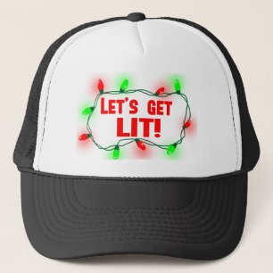
lets get lit trucker hat
Price£17.70
Baseball Coach Embroidered Hat
Price£29.10
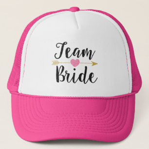
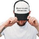
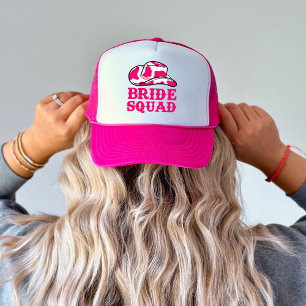
Team Bride Trucker Hat
Price£18.55
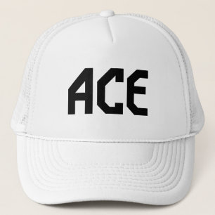
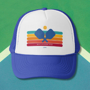
ACE Tennis Gear Trucker Hat
Price£17.70
Happy Camper trucker hat
Price£17.70
Camp Goodtimes Trucker Hat
Price£16.80
Love Yourself Trucker Hat
Price£18.75
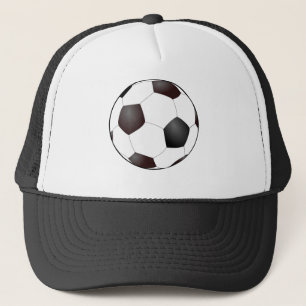
Soccer Ball Trucker Hat
Price£17.70
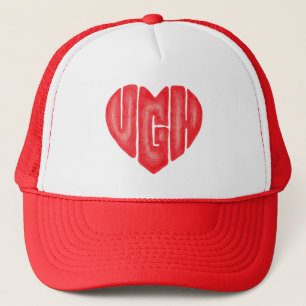
Ugh Heart Trucker Hat
Price£18.75
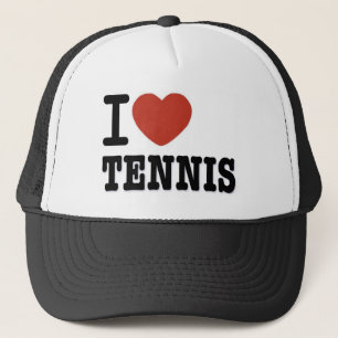
I LOVE TENNIS TRUCKER HAT
Price£17.70
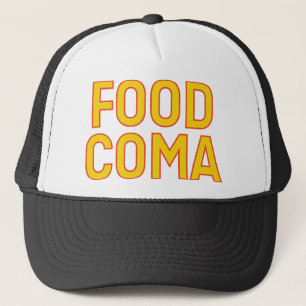
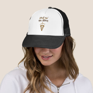
FOOD COMA fun slogan hat
Price£18.10
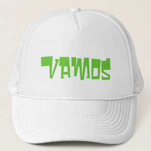
Vamos Trucker Hat
Price£17.70
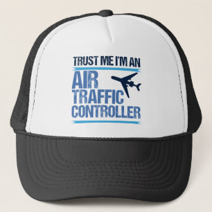
Funny Air Traffic Controller Trucker Hat
Price£18.75
Shine On You Crazy Diamond Trucker Hat
Price£17.70
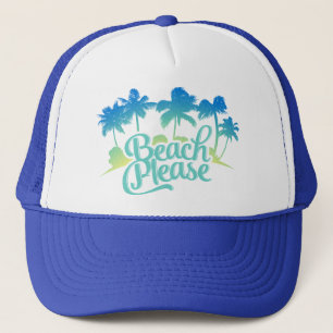
Beach Please Funny Quote Trucker Hat
Price£18.75
The Zazzle Promise
Love It Guarantee
Don't love it? We'll take it back! 30-day returns “100% Love It Guarantee.”
Easy International Delivery
Hassle-free shipping with no surprise fees. We cover any customs & duties.
Secure Shopping Guaranteed
100% Secure payment with SSL Encryption.
Search Feedback
If you need help or have a question for Customer Service, please visit our Help Centre
This is Zazzle's hats page, where you'll find a unique assortment of trucker & baseball hats set up for customisation or purchase. Popular colours for sale include white with green, red, blue or black. Personalise hat orders of all sizes. Upload your designs at no cost!
Recently Viewed Items