About
Welcome to Terra Prints - Classic, America's finest selection of antique maps, held in original form by the U.S. Library of Congress, digitized via state of the art, high resolution flatbed scanners and reproduced here using the finest archival inks and paper available.
Our selection includes: Ancient World Maps; Panoramic "Bird's eye view" American and Canadian City Maps; Victorian Era Map Illustrations and Murals; All Terra Prints - Classic products are available in sizes ranging from portfolio prints, perfect for executive gifts and office walls, to colossal murals suitable for large lobbies, foyers and museum exhibits.
Additionally, you can choose from an endless array of custom framing and printing material options.
More
Categories
View All CategoriesCollections
View All Collections
Best Selling Panoramas
18 items
Victorian Illustrations
4 items
Antique Maps of Antarctica
5 items
Antique National Park Maps
8 items
Best of North Carolina
5 items
Antique Australia Maps
3 items
Favorite Railroad Maps
4 items
Central American Maps
2 items
Products
View All Products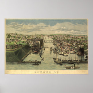
Save 20%
Oswego New York 1855 Antique Panoramic Map Poster
Sale Price £36.88. Original Price £46.10.
Latest Products Sold
View All Products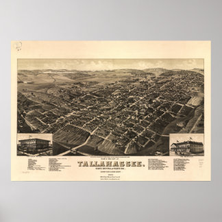
Tallahassee Florida 1885 Panoramic Map Poster
Sale Price £42.00. Original Price £52.50.
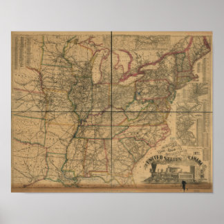
1871 Railroads and Distance Map of U.S. & Canada Poster
Sale Price £17.08. Original Price £21.35.
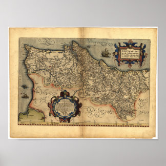
Antique Map of Portugal ORTELIUS ATLAS 1570 A.D. Poster
Sale Price £18.12. Original Price £22.65.
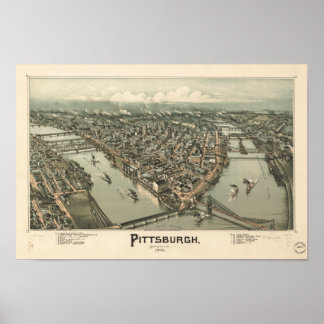
Pittsburgh Pennsylvania 1902 Antique Panoramic Map Poster
Sale Price £20.40. Original Price £25.50.
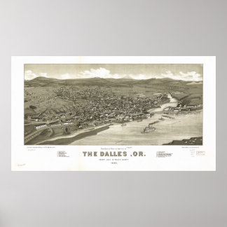
The Dalles Oregon 1884 Antique Panoramic Map Poster
Sale Price £37.24. Original Price £46.55.
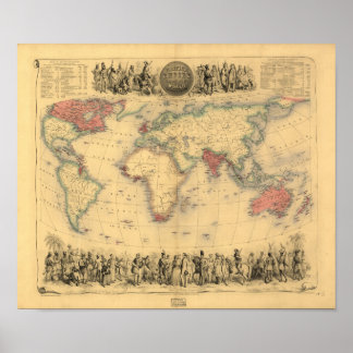
Antique Map - The British Empire 1850 Poster
Sale Price £16.36. Original Price £20.45.
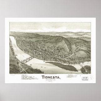
Tionesta Pennsylvania 1896 Antique Panoramic Map Poster
Sale Price £40.84. Original Price £51.05.
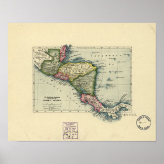
Antique Map of Central America - 1902 Poster
Sale Price £17.08. Original Price £21.35.
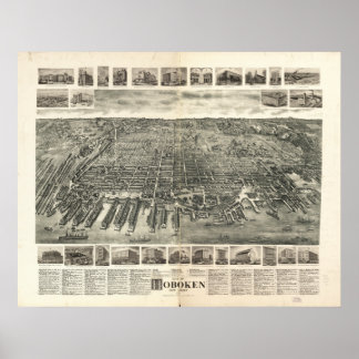
Hoboken New Jersey 1903 Antique Panoramic Map Poster
Sale Price £37.44. Original Price £46.80.
